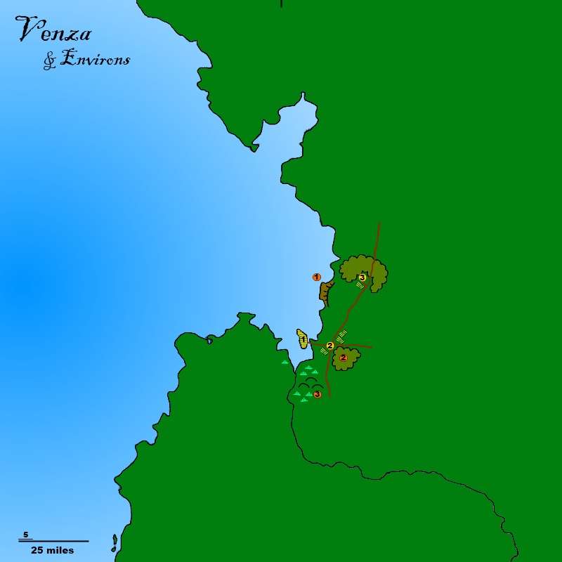
Regional Mapping


log in or register to remove this ad

Maidhc O Casain

Na Bith Mo Riocht Tá!
You can, but you'll have to actually click on the last link in the post. That will take you to the PhotoBucket page for this map. Once you're there, click on the Options button towards the top, then download. The map is a .png file at 300 pixels/inch, and looks really good zoomed at least to actual pixel level - probably higher than that. It's not detailed - just the names of the countries, mountain ranges, etc. in their general locations. Not even any political boundaries. But this one's meant to be pretty rather than overly informative.

I worked some last night one covering about 800x1000 miles up in the TriTower/Delta area. Got it framed and got the background and coast put in, but I still have quite a bit of work to do on the features.
 

GlassEye

Adventurer
A base level map would be good. By which I mean a map with scale and the landmass borders (coastlines) but empty of labels and features. Then anyone could take that base level map and add features which could later be prettied up by a good mapper like yourself :D. I don't know if that would be helpful or not. A long time ago I did try to take one of your early maps and zoom in in order to add features since we have so many adventure sites around Venza. The result of that zoom was, ah... less than desirable. The map I drew from that zoom turned out ok, I think, though it is way behind in having features/sites added.

[sblock=Map] [/sblock]
 

Maidhc O Casain

Na Bith Mo Riocht Tá!
Yeah, I've not had much luck posting up maps that are hi-res enough to be zoomable. This last one is probably the best example.

I'll get some "base level maps" up in my PhotoBucket account and post the links here. Anyone who wants can then go to the PhotoBucket page and download a hi-res file. They could then place adventure markers, cities/towns/etc. and post it back up here. They won't even have to post a hi-res copy so long as I can tell what they're placing where. I'll do what I can to put additions onto a "master map" of the area and keep it . . . here? On the wiki? Both?

We can work something out that's not too cumbersome.
 

Maidhc O Casain

Na Bith Mo Riocht Tá!
[MENTION=40413]GlassEye[/MENTION]: Was something like this what you were looking for? If this style will work for folks, I can set about making some for other regions as well. If you'd like to see a different style I can work something up.

En-TheGreatDelta_zpsdd6864c2.png


Here's the link to the Photobucket page so you can download the full resolution version:

E'n - The Great Delta

I can make one zoomed in even closer as well - something that includes only the Delta, for example. That could be useful for placing markers for adventures in the area, once there are quite a few of them.


Maidhc O Casain

Na Bith Mo Riocht Tá!
Actually, now I look at that one again I need to fiddle with the layer transparencies some - the jungle/forest isn't showing up well enough in the hilly areas.

Done. Not enough difference to really tell, probably, but I'm a little happier with it.
 
Last edited:

Remove ads

AD6_gamerati_skyscraper

Remove ads

Recent & Upcoming Releases

Top