Gilladian
Adventurer
Since I use real-world maps for my campaign world, I steal them from the USGS and other sites, either print and redraw the necessary details (lots of white-out or tracing paper gets used).
For dungeon/town/site maps I frequently steal stuff I find online and rekey it for my own use (but I would never POST a map I did that with).
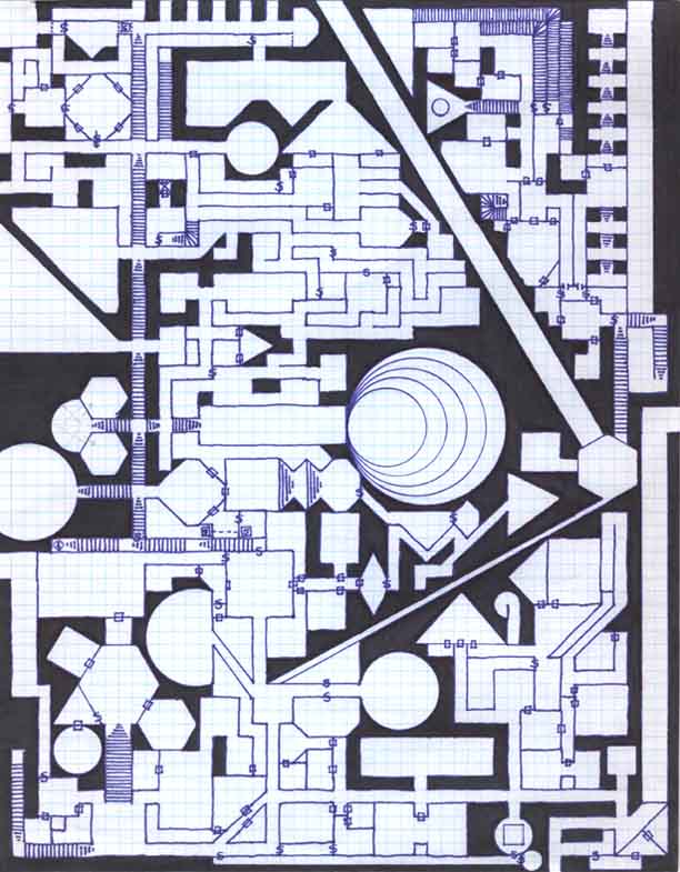
The few maps that I've done myself tend to have a drawn base, scanned or (in one case) photographed and then use CorelPaint to modify. This is the photo map: Vishteer Campaign / Marig
It is a posterboard sheet, originally, then laminated (I wish I'd photographed it first, darn it!). This version is only about 1/4 recolored, but it is generally usable for an overview of the town.
For dungeon/town/site maps I frequently steal stuff I find online and rekey it for my own use (but I would never POST a map I did that with).
The few maps that I've done myself tend to have a drawn base, scanned or (in one case) photographed and then use CorelPaint to modify. This is the photo map: Vishteer Campaign / Marig
It is a posterboard sheet, originally, then laminated (I wish I'd photographed it first, darn it!). This version is only about 1/4 recolored, but it is generally usable for an overview of the town.