
poilbrun
Explorer
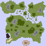
Here's my first try (or rather, first "good enough for me to dare show it to others") at a world map, tell me what you think.
I lowered the quality, the size, and made it into a gif. I don't think EN Worlds would have allowed the bitmap file, which is 52 inches by 52, and 73 MB
I lowered the quality, the size, and made it into a gif. I don't think EN Worlds would have allowed the bitmap file, which is 52 inches by 52, and 73 MB
")