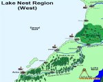
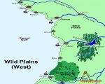
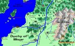
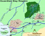
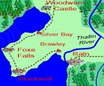
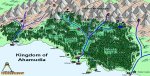
This will sound wierd but nice tree placement, it is often hard to get natual looking forests.
A few notes: The maps are not uniform? Sometimes the text styles or colors change and other times it is the color of the water but it does not appear to be one coherent work. Should be an easy fix.
Pretty nice stuff.