
Shades of Eternity
Legend
Ten Beautiful Medieval Maps
Our list of the best medieval maps - ten maps created between the 6th and 16th centuries, which offer unique views into how medieval people saw their world.
www.medievalists.net

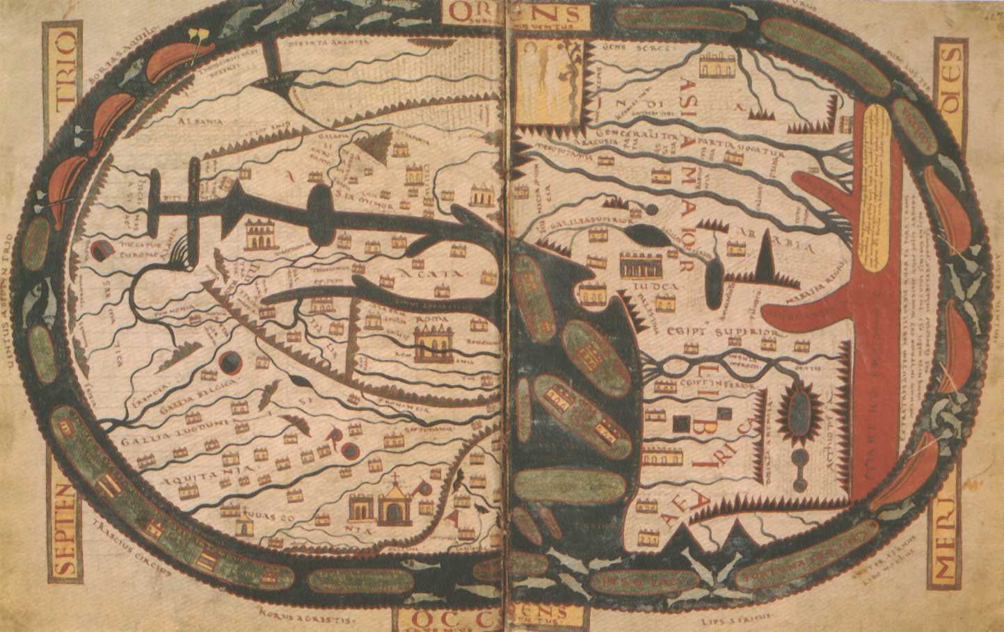
Medieval World Maps (T-O Maps)
Several cases contain maps that represent the world as medieval Europeans saw it, and usually they are signified as a diagram of a T inscribed within an O.
Trying to figure out if there is a way to design a map so it feels like a medieval map while still being functional like a modern map.
The closest I've seen is Palladium Role Playing Games map and even then it is more on the side of a standard map.
I have this conceptual model in my head of doing a fantasy map of Europe, where doggerland rose due to divine intervention and as a result of a response to a tyrant to give a chance for people to flee his iron grip and settle somewhere else with a rough feel of the Canterbury tales, but the map makes me bug eyed and looking for suggestions.


