The EN World FREE Map Request Thread!

jaerdaph said:
Can you post the larger version here, BastionLightbringer? If I get some time this week I'd like to give this a shot as well in CC3 with one of the Annual style packs. And what are the width and height dimensions in miles of the image?

Sarah Wroot Style

Pete Felon Style


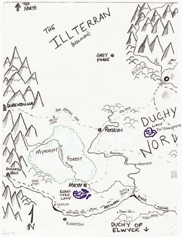
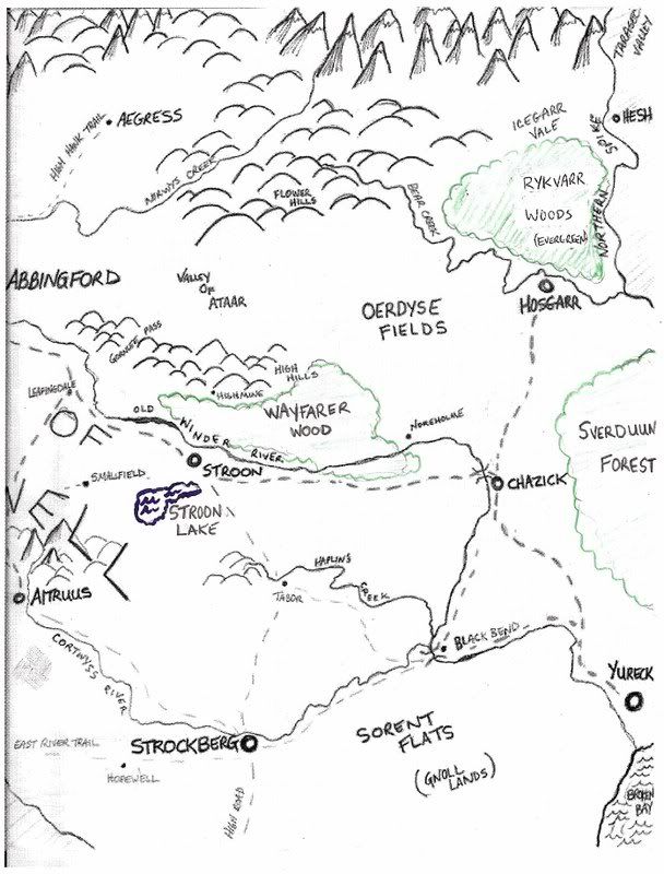
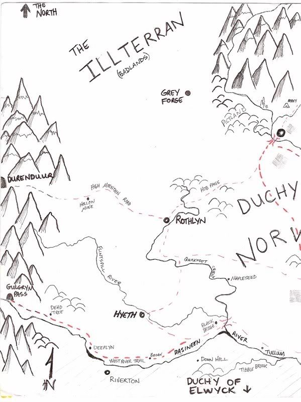
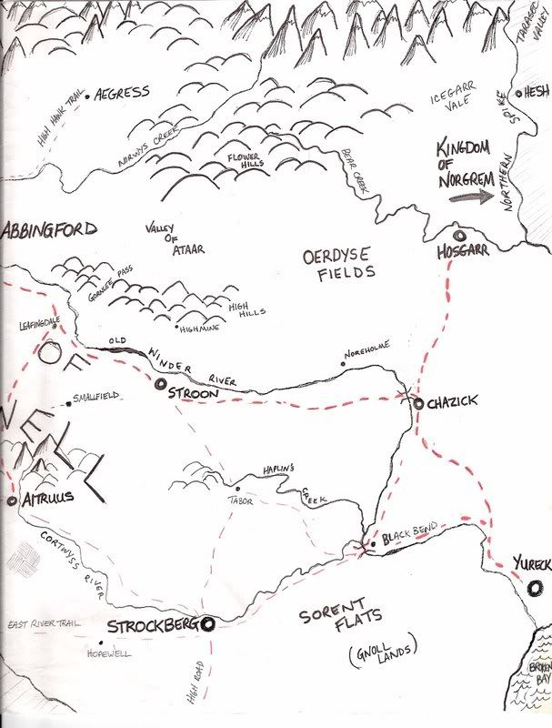
Thanks for showing interest. Here are bigger versions. As for dimensions:1 inch =30miles So the map (11x17) is 330 x 510 miles.

Both versions are awesome. I guess the Pete Felon style was more of what I had in mind. I would love the Sarah Woot style for my map of the entire continent. Man, I have to get that scanned & posted.

You guys are great.
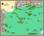
First the Western half:
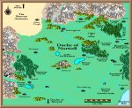
eastnorwell.jpg


Eastern half:
westnorwell.jpg
 
Last edited:

log in or register to remove this ad


Here is a rough mark up of the forests and a couple lakes. The names might be tough to make out, so I will type them below each map.

westnorwell-forest.jpg

The forest on the first map is Myrmyst Forest(decidious)
Below the forest is Cloudcatch Lake. Plus 2 smaller lakes. Towards the middle right is another lake, Lake Tel'Raenoer.


eastnorwell-forest.jpg

The lake is Stroon Lake. The forest above is Wayfarer Wood( a mix of evergreen and decidious) To the top right is Rykvarr Woods(evergreen). To the right edge of the map is Sverduun Forest(decidious).

Thanks Again.
 

Knightfall

World of Kulan DM
Okay, version 3 happened faster than I thought it was going to.

attachment.php


BTW, which of these cities are racial cities? Is Grey Forge a dwarven city or unique in some way? I ask simply because its name seems different than the others.

Also, what are the names of the mountain ranges?
 

Attachments

  • Aldemia_ver3.jpg
    Aldemia_ver3.jpg
    522.4 KB · Views: 554
Last edited:

Looks really good.

The mountain ranges are: Deephollow mountains to the west, and Thunderclap to the north. As far as racial cities, Durenduur is the dwarven underground city, and Gulgryn Hall(at the end of Gulgryn pass) is an abandoned Dwarven city. There are no other racial cities in the north, as the elven kingdom is to the south of the continent. My campaign is based on historical England w/ some fantasy elements thrown in(plus a healthy dose of George RR Martin). So basically Norgrem is Danelaw, and most of Norwell was at one time part of the viking/norse kingdom, hence the scandinavian like names (sverduun,rykvarr,hosgarr).

As for Grey Forge, it started as a defense outpost against goblinoid raids from the Illterran, but eventually a small city grew around it. A dangerous city;think Mos eisley. It is inhabited by all sorts of scum, a place where goblinoids(usually mixed blood) walk around freely, as long as they are civil.

Hope that helped. Thanks again.

Bastion
 

Just checking some status. Not trying to rush anybody, I just haven't heard much from this thread lately. Anybody working on anything? Anyone looking for something to map? 'Cause I can probably come up with some things I need for my campaign.

Thanks
Bastion
 

Remove ads

Top