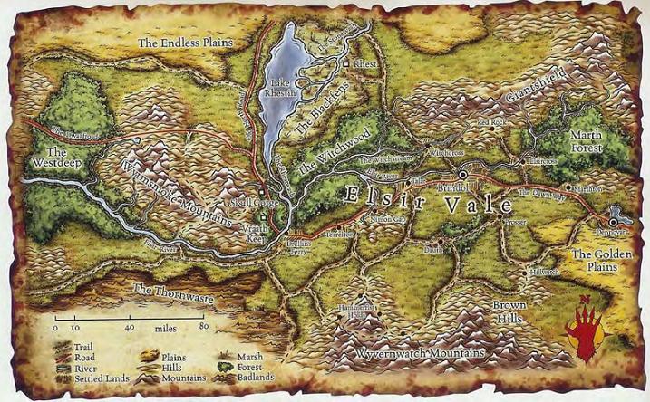
Dungeonosophy
Legend
The only jungle I see on the map is the Zannad Jungles of the mid-eastern edge of the map. Which doesn't match Real World climate at all. So neither does the southern edge have to match RW climate zones.
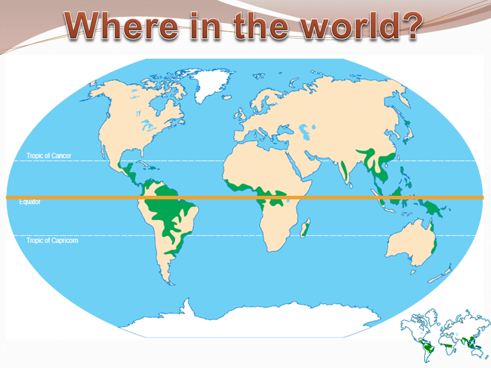
Though perhaps there is 4E lore which provides more climatic / vegetation indications.
Random note: the shape of the southeastern coast does look similar to NW Africa.
Though perhaps there is 4E lore which provides more climatic / vegetation indications.
Random note: the shape of the southeastern coast does look similar to NW Africa.