All I really did was draw one (by hand) in a seperate layer, then copy it, crop it, and paste it into its own file. Then, I cut-n-paste that image into subsequent maps.
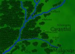
For the trees, I made several files, one with a single tree, and a couple with varying numbers of trees (groves, if you will) so I could paste a larger section into a picture (pasting hundreds of trees into a picture one-by-one gets REAL old REAL fast).
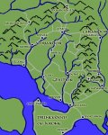
For the mountains, I did more or less the same thing, except I drew several different mountains, and pasted them into the map. There are 5 or 6 different mountain shapes, and using them sparingly keeps you from noticing that some of them are identical.