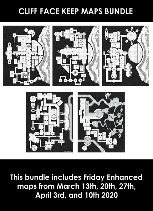
D&D General Turgenev's Friday Freebie Maps


log in or register to remove this ad


Turgenev

Hero
From 2017 and onwards, all of my Friday Enhanced maps include unnumbered images. There is a layered PDF and a zip file with all relevant images. The map images are broken down as follows:

White background. numbers, secret doors/DM only icons
White background. numbers, no secret doors/DM only icons
White background. no numbers, secret doors/DM only icons
White background. no numbers, no secret doors/DM only icons
Black background, numbers, secret doors/DM only icons
Black background. numbers, no secret doors/DM only icons
Black background. no numbers, secret doors/DM only icons
Black background. no numbers, no secret doors/DM only icons

As of this year, I've included the above with the additional option of no grid versions. That doubles the map count from 8 to 16. ;)

Cheers,
Tim


Turgenev

Hero
Here is the April 17th, 2020 Friday Freebie map. Click to enlarge.


Map Details:
  • Area 1 has an extremely tall ceiling to accommodate the stairs/ledge along the south wall (and yes the pillars reach all the way to the ceiling).
  • Areas 1, 5 a), 12, 20 a), 25 a), 34 a), and 38 a) have pillars.
  • Areas 4 b), 5 b), 20 b), 34 b), 34 c), and 38 b) are false doors.
  • Areas 8. 19, and 35 are corridors with spears/arrows/darts traps set into the walls.
  • Areas 9 and 24 have statues.
  • Area 25 b) has a pool of water.
  • Area 14 is a covered pit trap.
  • Area 30 has a magic circle.
  • Area 39 has a falling block trap.

I have an Enhanced version of this week's Friday Freebie for sale here: Friday Enhanced Map: 04-17-2020 - Paratime Design | Dungeon Maps | DriveThruRPG.com

The April 17th, 2020 Friday Enhanced Map product contains a multi-layered PDF (allowing the options of white or black backgrounds, numbered or non-numbered areas, secret doors on or off, and grid or no grid, and all permutations) and a zip file with all relevant (16) map files as individual jpg images. All for a $2 (US)!

Cheers,
Tim


DND_Reborn

The High Aldwin
I was going through my various cartography work and came across this one from 2012ish. This was for a short-lived AD&D campaign set in the World of Greyhawk. Click to enlarge.


Cheers,
Tim
Interesting how large your city sprawls are! I am designing a city for a game right now and it is maybe 2 miles across at its widest, but you have several locations that are several hexes!


Remove ads

Top