Yaarel
🇮🇱 🇺🇦 He-Mage
Re Shadow and Mortal. My impression is, the deathly versions are in the same places at the same distances as the living versions.But isn't the Shadowfell also distorted (but parallel) geographically?
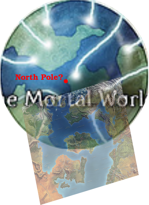
0 to 80 degrees latitude would make the planet unbearably small.I measured the scale bars exactly of all three maps and re-sized them accordingly, so they should all give the same answer as to planet size.
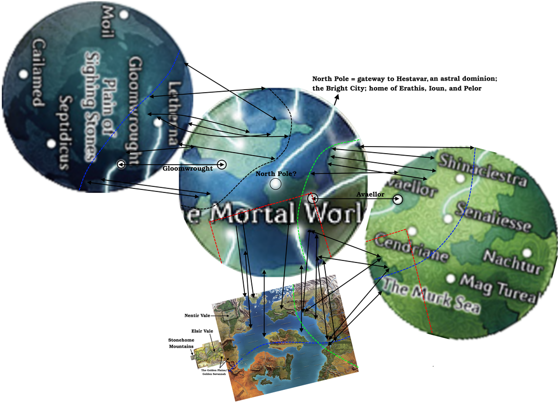
I'm personally still not 100% committed to the Arctic Circle-Tropic of Cancer option (or the 20-70N option), though they both have strengths. I still feel that the 80N-Equator is also a reasonable solution.
20 to 60 degrees, exactly, looks right according to the geography - and even then the planet surface would be half the size of Earth.