Yaarel
🇮🇱 🇺🇦 He-Mage
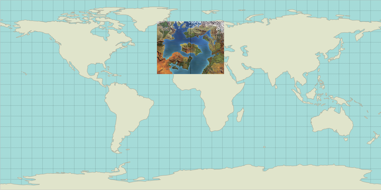
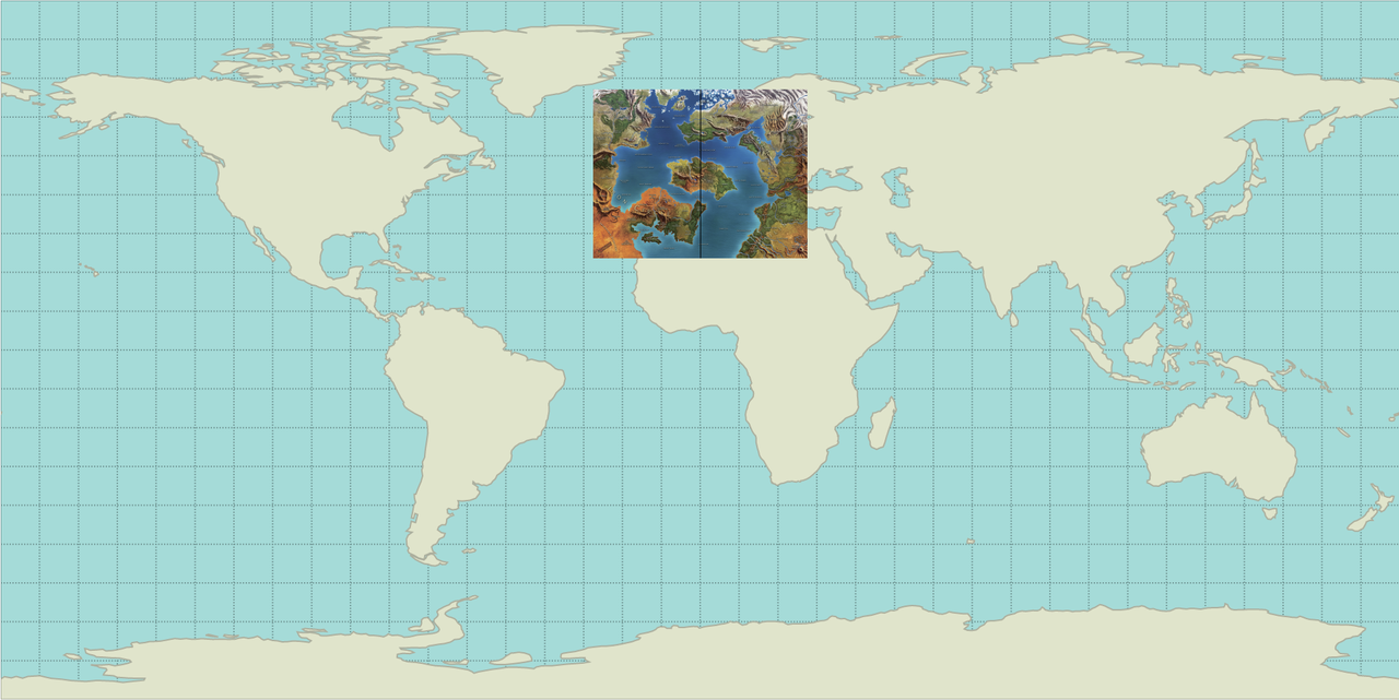
Cool.The "Mortal World" illustration seen in the 4e cosmological diagram. http://blogofholding.com/wp-content/uploads/2012/02/4eplanes.jpg
Which makes up the other side of the planet, as seen on the map in the OP.
In the planes map the southern hemisphere of its Mortal World sphere seems like the nortnern part of the rectangular map.
It might be a very small planet.