
I just started a campaign of 4e in the Nentir Valley, a la Fallcrest, Keep on the Shadowfell etc etc. I'm not going to run Keep and that lot because of one the players is also in another game I get to actually play in and that DM is using them.
So, I was looking at the Scales of War campaign and I'm wondering if this world is supposed to be part of the same world. Is this just a generic world or some throwback to Greyhawk? It doesn't remind me of Greyhawk, but then I really never did enough there to know the places well enough. I'm really wondering as I'm liking the newest Scales of War adventure, Bordin's Watch and think it'll work for me in terms of something my characters can do in a few levels. However, I'm not sure where to put it in "my world". I was thinking of having the Elsir Vale be somewhere down south of Nentir Valley and be more or less done with it.
Just hoping that perhaps someone knows more what is going on with Wizards and their hodgepodge generic world.
Thanks,
Tellerve
Last edited:
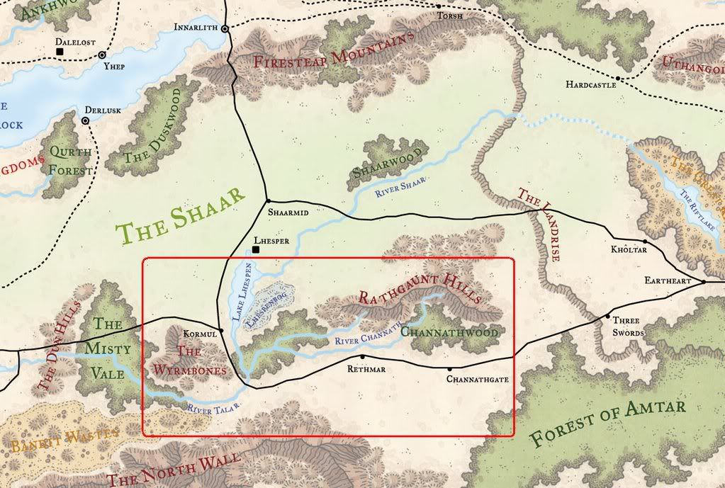
") , if Elsir Vale generally follows the (3E) Forgotten Realms topography to the east, you would expect to find a big forest and some open land leading up to a sudden rise in the land. I don't have the DMG Nentir map in front of me, but it doesn't seem unreasonable to substitute the city of Three Swords for Fallcrest, seeing it too sports a cliffside as its major geographical feature.
, if Elsir Vale generally follows the (3E) Forgotten Realms topography to the east, you would expect to find a big forest and some open land leading up to a sudden rise in the land. I don't have the DMG Nentir map in front of me, but it doesn't seem unreasonable to substitute the city of Three Swords for Fallcrest, seeing it too sports a cliffside as its major geographical feature.")


